We will enter data collected for the urban form variables such as frontage or land use. This could be also done in depthmap or other GIS platform.
- Open “segment.graph”
- Export “segment.graph” as * “segment.mif”
*segment.mif is a GIS file that could open in both Mapinfo and QGIS.
- Table – > Import -> segment.tab with all the data
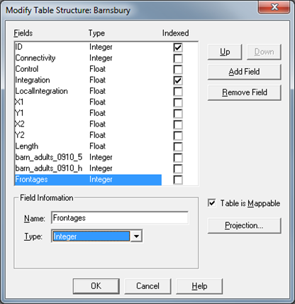
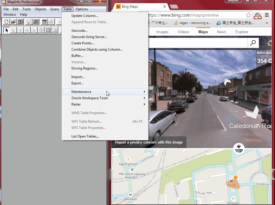
- Table -> Maintenance -> Table Structure
- Add Field A
- For each urban form dataset, create a corresponding column. For example;“Frontages”
- Type should be assigned based on variable type. For example if it’s a dummy variable where 0 = blank frontages and 1 = active frontages, it should be integer.
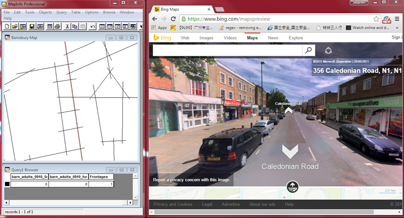
- Assign for each cell of each column the respective frontage within the study area. B
“0 = blank frontages”
“1 = active frontages”
- File -> save -> “segment.tab”
Press link for an animation of the steps.
We will then enter data collected for the urban performance variables such as pedestrian movement. This could be also done in depthmap or other GIS platform.
- File -> Open -> “segment.tab”
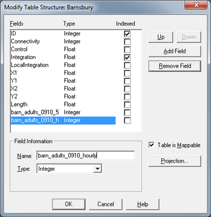
- Table -> Maintenance -> Table Structure
- Add Field
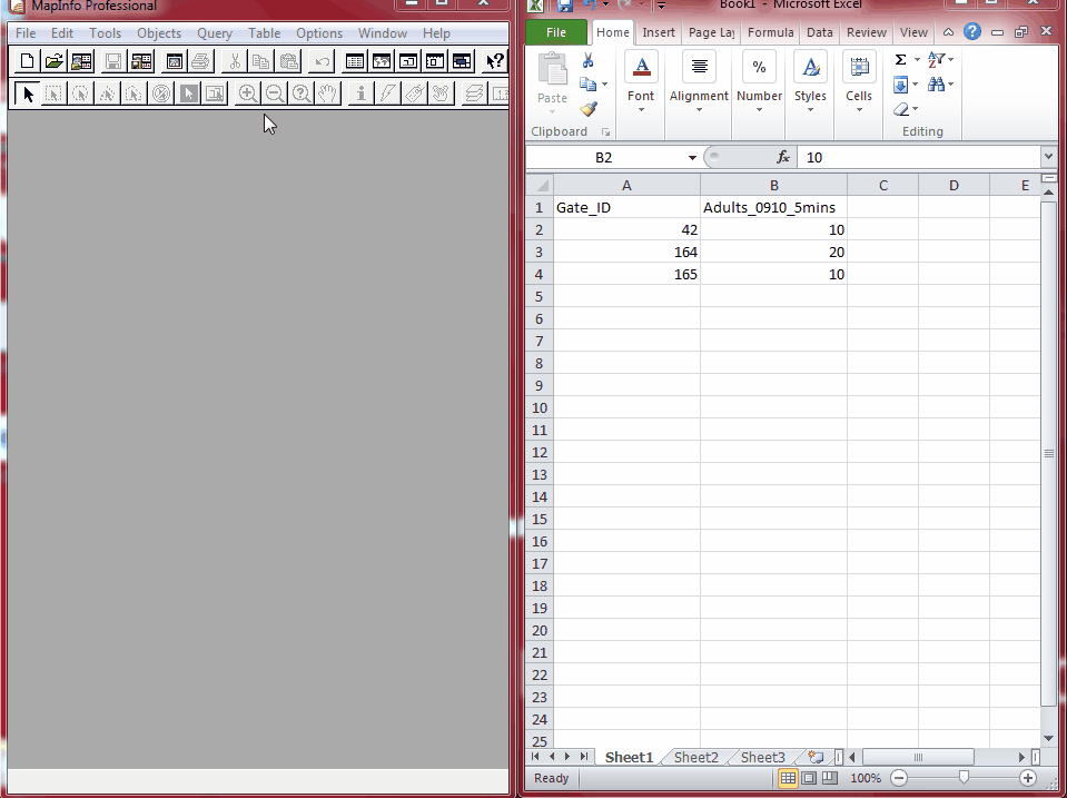
- Create a count column for each hour of observations with its count frequency. A
“Project_Category_Time_count”
- For example if you conducted 5mins count for each gates of the Barnsbury area fill in and press ok.“Barnsbury_Adult_0910_5min”
- Fill in for each cell of each column the respective movements.
- Create a movement column for each hour of observations that starts with “Project_Category_Time_hourly”
- For example if you conducted 5mins count for each gates of the Barnsbury area fill in and press OK.“Barnsbury_Adult_0910_hourly”
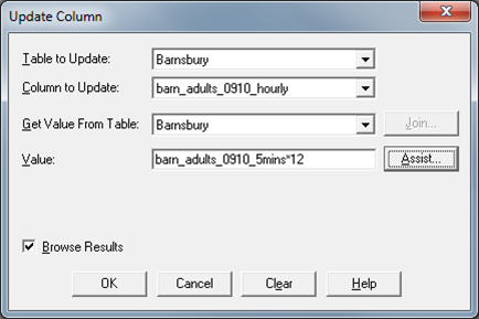
- Now calculate the hourly column based on the count data. B
Table > update columns
- Calculate the hourly rate based on the count data. For example if the counts data is 5 ppl per 5mins. This has to be multiple by 6 to get 60 ppl per hour.Column to update : Barnsbury_Adult_0910_hourly
Value : Barnsbury_Adult_0910_5min* 6
- File -> Save -> “segment.tab”
Press link for an animation of the steps.


