How to construct, estimate and visualise an urban performance model?
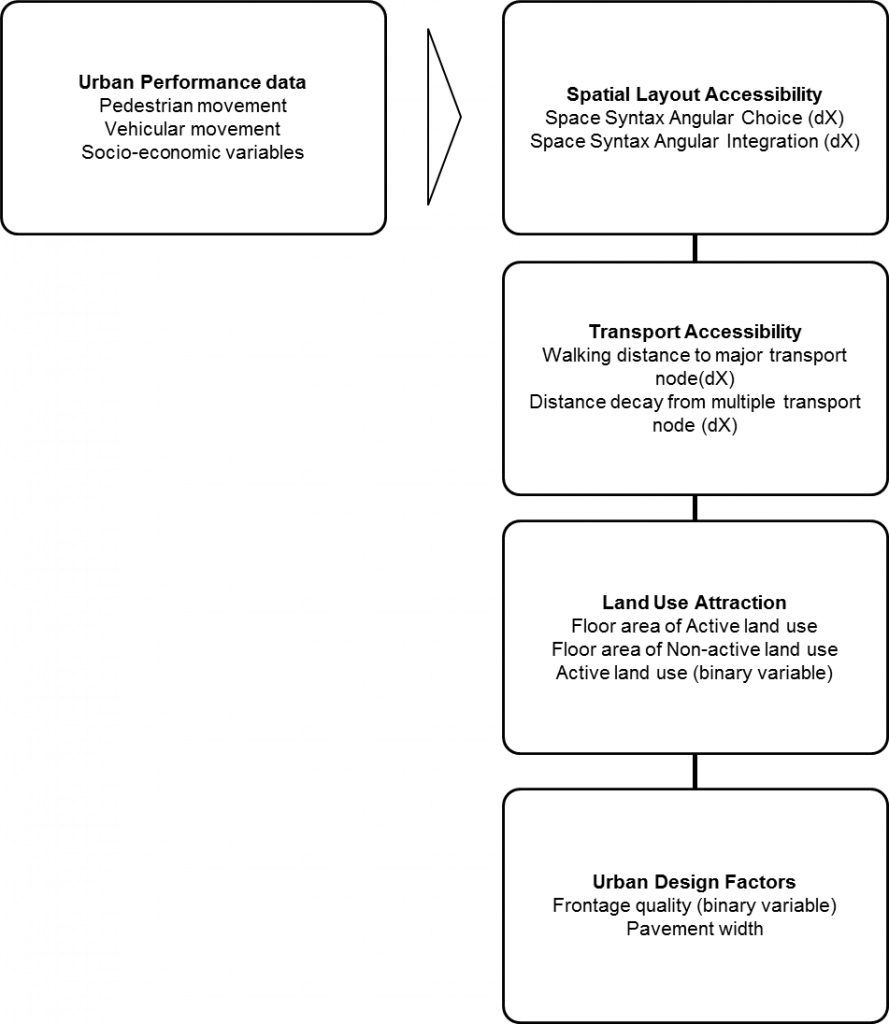
This tutorial aims to produce a pedestrian movement model. An urban performance model is a multiple variable regression model that space syntax uses for explaining, modelling, estimating and visualising urban performance. Fig A illustrates the key factors we found most commonly associate with urban performance such as pedestrian movement. Ones could follow the tutorial by using the Barnsbury map downloadable here (link) or any axial/segments drawn in a CAD or GIS package.
Below are the key steps in constructing an urban performance model.
- Create segment map
- Process spatial layout attraction measures
- Process transport/land use attraction measures
- Data collection
- Data entry
- Create urban form and urban performance tables
- Visualise urban form and urban performance data
- Urban performance model construction
- Urban performance model estimation
- Urban performance model visualisation